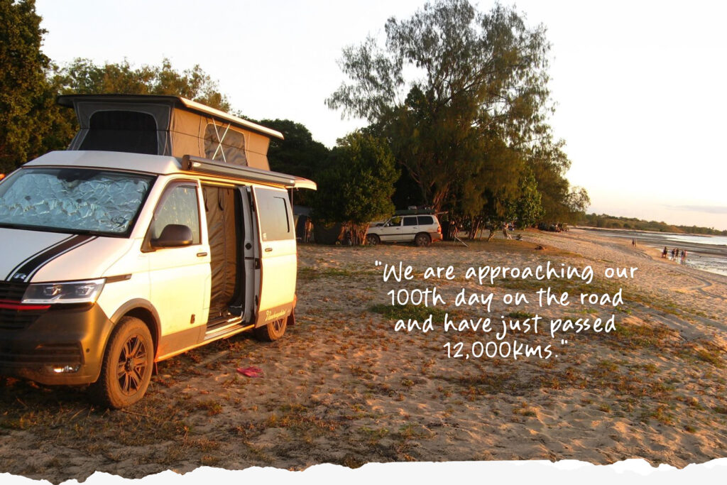
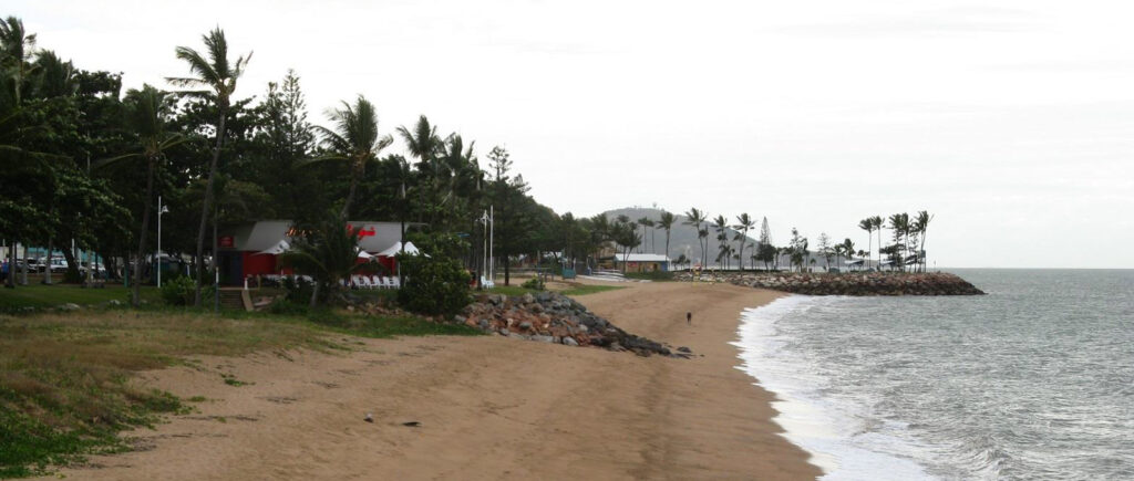
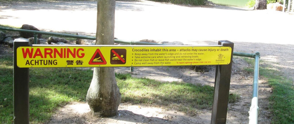
After we left Magnetic Island we saw a different side of Townsville. The Strand Beach just to the north of the CBD is really quite attractive. From there we went to a freecamp on the beach at Toomulla. One thing that has changed since we were last up this way is that the warning signs aren’t quite so frightening for the uninitiated. Instead of listing a dozen or so creatures that could kill you while taking a swim, now they just warn you about crocs and stingers. They still provide vinegar in case you get stung by a box jellyfish, unless someone has used it up on their chips. There isn’t anything supplied if you get attacked by a croc, although I suppose you could use vinegar on that as well.
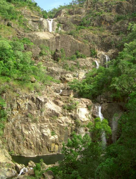
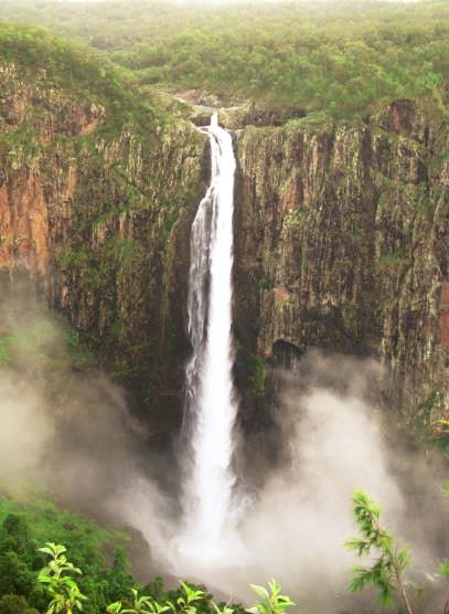
We bobbled up and down the coast between Tully and Innisfail for about a week. There is lot’s to see and do and lots of free camps. We also drove inland to see a few waterfalls. We booked a national park camp to see Wallaman Falls. These are billed as the longest single drop falls in Australia at 296m. It had been raining all day, although it had stopped before we arrived.
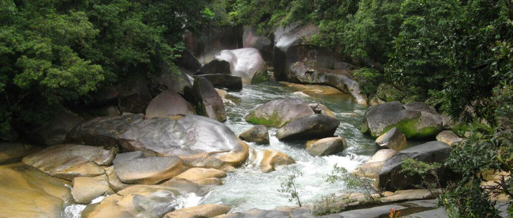
But the camping area was a proper quagmire. I pitied the people staying in tents. In successive nights we camped at El Arish, Babinda Boulders, Tully Gorge and Paronella Park. It rained at the Boulders but was dry at the other sites. In fact day 77 at Babinda Boulders was the last time we experienced any rain. Incidentally we camped there in the rain last time we visited in 2014. It is a popular swimming spot despite over 20 people dying there since the 70s. There are signs describing in graphic detail how you will
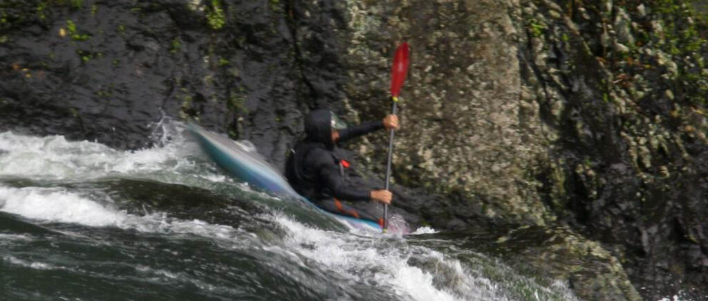
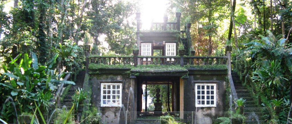
die if you enter the rapids. Tully Gorge wasn’t so intimidating and is a great place for whitewater rafting. I took Jess there when she was a young teenager and she loved it. Paronella Park is a must se if you are up this way. It was built in the 30s by a young Spaniard who dreamed of owning a Castle and made his fortune selling cane farms. It has suffered several natural disasters but is currently owned by a family who is passionate about continuing the place’s legacy.

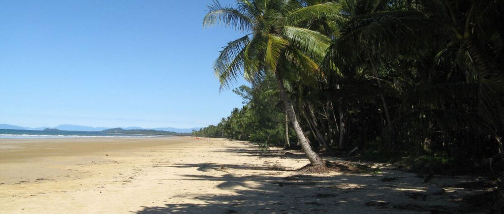
We spent the next few days at Mission Beach. Last time we visited it rained the whole time we were there. This time we brought the good weather and we were told it had been raining from December up to the day before we arrived. We used our time there to catch up on stuff like laundry. I even went to the pub to watch NSW get thrashed in the first State of Origin. It’s apparently a popular thing for New South Welshmen to do, get surrounded by fanatical Queenslanders while your team gets thrashed.
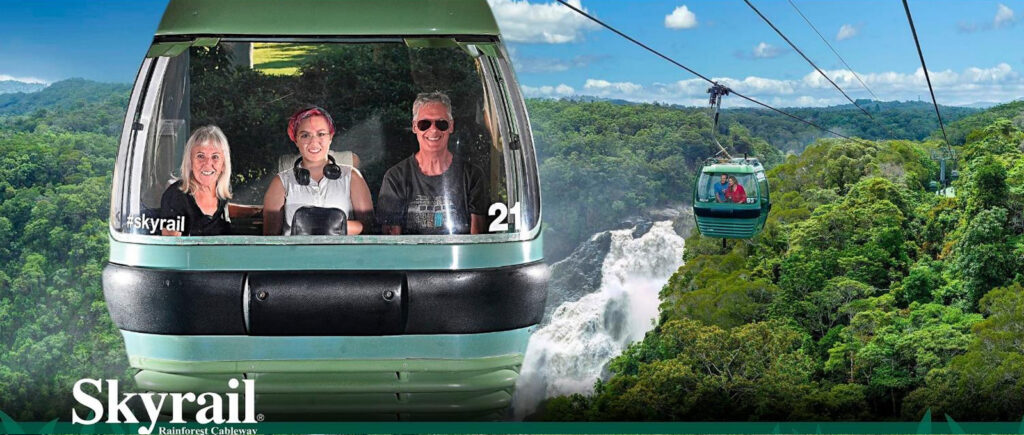
From Mission Beach we went to Ellis Beach just north of Cairns. We used that as a base while we did tourist things like the Scenic Railway to Kuranda (including Barron Falls and the Skyrail on the return trip) and the wildlife park on the road to Port Douglas. We also just wandered around the Cairns waterfront and shops and explored Cairns’ northern beaches. The van park we stayed in at Ellis Beach had been completely rebuilt in about 5 months after it was mostly washed away (along with sections of the Capt Cook Highway) when the region was hit by a rain depression following a cyclone last December. It is a lovely park, right on one of the nicest beaches in the region.


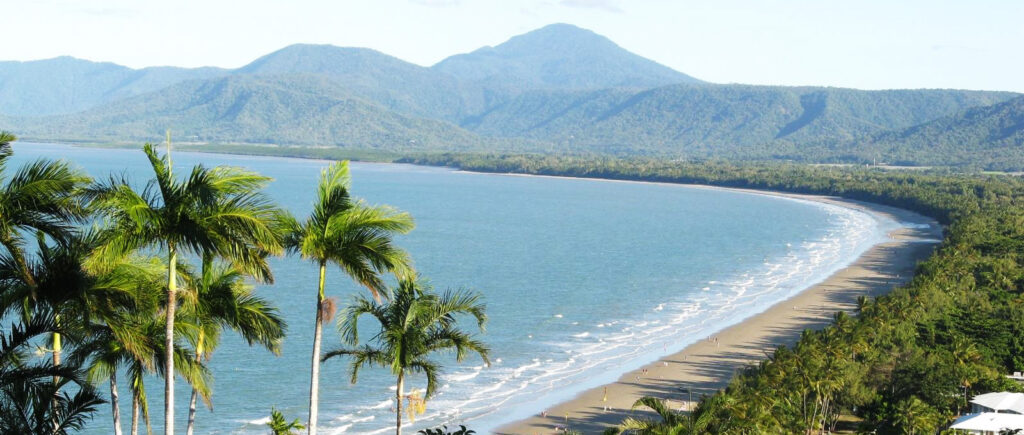
We had planned to do the Bloomfield Track from Cape Tribulation to Wujal Wujal. This was the scene of major environmental protests back in the day. The protests were about keeping the Daintee area as a wilderness and keeping it closed to tourism. The compromise was that the Bloomfield Track was built. It is a challenging 4WD track that we drove without any problems in the original Vanborghini. However parts of it were also washed away by the same rains that destroyed parts of the Capt Cook Highway. We got conflicting stoies about whether it was open or not, ranging from “people are driving through now” to “the track remains closed indefinitely”. Nobody we spoke to was able to give us a definitive answer. We decided to drive to the Daintree Ferry and ask them. If anybody knew, they would. Meanwhile I made two alternative plans, one in the event the track was open and another if it was closed. As it turned out, it was still closed, but the plan was to reopen it on 22 June. So our plan was to avoid it on the way north up Cape York and drive it on the way south, which would be a few days after its planned reopening. So that is what we plan to do in a few days time.
So our revised route up Cape York took us from Daintree to Laura, Coen, Weipa, Bramwell Station and Loyalty Beach.
We did a cruise on the Daintree River and saw 5 crocs in the space of an hour. Laura is home to the Quinkan Galleries, reputed to be one of the top ten rock art sites in the world. We did the arduous walk to one of the sites. Coen was exactly the same as when last visited, that is to say a small village that is dependent on its pub and school for its existence. We arrived in Weipa too late on Friday for the mine tour and we would have to wait until Monday for another one. A weekend in Weipa with nothing to do was not on the cards, so we missed out. Its a shame because I really like that sort of stuff. Next stop was Bramwell Station. Its a working cattle station that has a successful side hack as a resort. They average over 100 campers per night during the dry season. The night we stayed they only had 90.
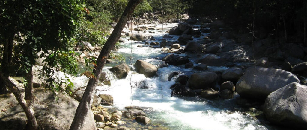
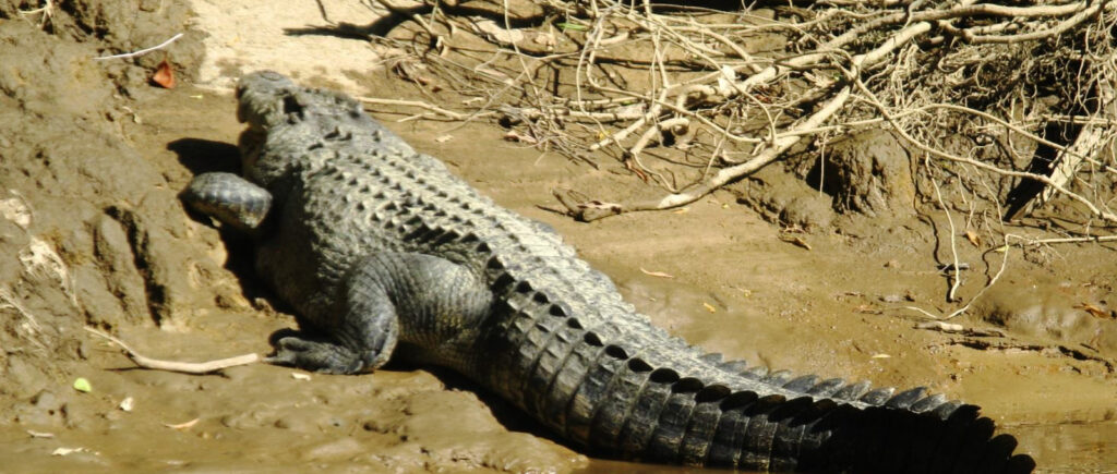
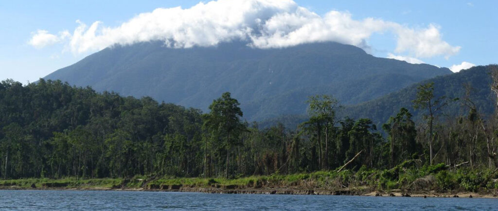

The final leg of our Cape York adventure was from Bramwell Station to Loyalty Beach. Its indicative of how bad the Telegraph Track Bypass Road is, and how out of its depth the Vanbo is, that it took us 7 hours driving time to do the final 210kms, that’s 30kph if you’re slow at arithmetic. Included in that we did the detour to Fruit Bat Falls, which is a “must do” up this way. We also had to cross the Jardine River. For all its notoriety, the Jardine is not much of a river. There is a punt operating to get you across. But if they linked two punts together it would make a permanent bridge. But that doesn’t seem to be a priority. Maybe once they complete the magnificent new bridge over the Archer River. Just a side note on the condition of the three major roads up the middle of Cape York, the Peninsula Development Road from Laura to Weipa, the Telegragh Track Bypass Road from the Weipa turnoff to the Jardine River and the Bamaga Road from the Jardine River to Bamaga. Bamaga is just down the road from where we are camping and about 35 kms from the northern most tip of the Australian mainland. When Slava and I drove the original Vanborghini up here in 2014, the roads from Cairns to the Tip were about 60% dirt. It’s almost exactly 1000kms from Cairns to Bamaga, so that was 600kms of dirt. We measured it on the way up and the dirt bits now account for only about 35%, or 350 kms and the biggest chunk of that is north of the Weipa turnoff. So in the last decade, about 250kms of new sealed road has been built. But apart from the new Archer River Bridge, there is no work currently being undertaken to improve the road. So it could be decades before the road is all sealed. Even if/when it is sealed it will remain a frontier because it is so remote and that won’t change. But in the dry season, it is idyllic when you get here.


We spent 4 nights at Loyalty Beach, 26kms south of the Tip (Pajinka). On the first full day here we planned to drive to Pajinka. We had done it before in the original Vabo and didn’t have any problems. We took the short cut and faltered at the first water crossing. Too deep for us. So we took the long way round and we got to about 6.5kms from Pajinka when we were turned back by an even deeper and wider waterhole. I felt really deflated. The Vanbo has never failed us before. A few more days of evaporation and both crossings might be fordable by us, but there is no way of knowing. So we accepted that we aren’t going to Pajinka on this trip. However, we did do a three Island cruise of the Torres Strait Islands which included stops at Horn, Thursday an Roko islands. Horn is famous for its role in WWII as a foward defence base. Thursday is the administrative capital of the Torres Strait Islands. Roko is a boutique resort with 4 glamps and an eye watering all up daily cost.


I have to mention the stunning sunsets up here. They are amazing. Daylight hours are pretty much 6:30 am To 6:30 pm. Daytime temperatures are in the high 20s and overnight it is in the low 20s. It is very pleasant.


So that’s it. We start driving south again this morning. Hopefully the Bloomfield track will be open by the time we get there, early next week. And then we head west on the Savannah Way, to the south of the Gulf of Carpentaria. I’ll write again in about a month, assuming that is a suitable milestone in the trip.
Cheers
Rob, Slava and Ruby
